
From forest structure to stored carbon
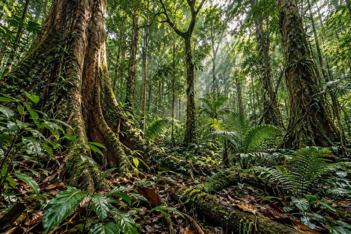
Biomass carries a radar designed to reach through forest foliage and gather information about the wood beneath it. ESA launched the mission on Apr 29, 2025, with forest carbon at the centre of its scientific purpose. Simonetta Cheli, ESA’s director of Earth Observation Programmes, linked the mission’s importance to understanding forests and climate in her Euronews interview. The instrument uses P-band radiation, with a wavelength of about 70 centimetres. Its observations concern the structure and quantity of vegetation from which researchers estimate stored carbon. Trees’ trunks, branches and stems hold much of that carbon. Biomass measurements therefore provide information about a carbon store rather than a direct measurement of carbon dioxide in the atmosphere.
The Vega-C launcher lifted off from Europe’s Spaceport in Kourou at 11:15 CEST, or 06:15 local time. Its propulsion sequence used three solid-propellant stages followed by a liquid-propellant upper stage. At 12:27 CEST, controllers at ESA’s European Space Operations Centre received the first signal, relayed through the Troll ground station in Antarctica. Biomass travelled with its large reflector folded for launch: the deployed antenna has a diameter of 12 metres and sits on a 7.5-metre boom. Opening that assembly in orbit was a separate operation after the successful launch.
An industrial programme across several sites
Airbus built Biomass as prime contractor, leading a team of more than 50 companies in 20 countries. Its Stevenage, Friedrichshafen and Toulouse operations developed, built and tested the spacecraft. The mission’s planned operational life was five years, with the spacecraft entering an orbit approximately 666 kilometres above Earth. Airbus teams prepared for the in-orbit commissioning and operational phases, while a separate team managed the ground calibration transponder. The mission’s intended applications included monitoring forest loss from logging and burning alongside subsequent regrowth. Airbus also identified support for REDD+, the United Nations initiative to reduce emissions associated with deforestation, among the planned uses of the data. Additional applications under investigation included palaeo-aquifers in arid regions, ice-sheet dynamics, subsurface geology and forest topography. Radar observations reaching the ground through dense foliage were expected to improve digital elevation models in forested terrain.
Before those orbital operations, Biomass travelled from its assembly and test facilities to the launch site. The spacecraft left Toulouse for Kourou by sea in February 2025, following its test campaign. Stevenage engineers led those tests with support from colleagues in Toulouse and Friedrichshafen and the wider industrial team. Airbus announced the departure on Feb 21, 2025, ahead of the scheduled April launch. Alain Fauré, head of Space Systems at Airbus Defence and Space, linked the shipment to the planned assessment of forest carbon stocks and fluxes. The development had also spanned the Covid pandemic. Justin Byrne, Airbus’s head of Space Programmes, described the difficulty of building the spacecraft during that period, when team separation complicated work on the radar. He discussed those conditions with journalists in Kourou around the launch.
University research and the original proposal
Shaun Quegan, a professor at the University of Sheffield, jointly proposed the mission concept and remained involved in its scientific development. The satellite supported approximately 250 highly skilled jobs at Airbus in the UK, at Stevenage, while UK contracts awarded through ESA membership from 2016 were worth almost €91 million. Quegan described decades of collaboration with scientists in Europe and the US, including work on operational scientific problems affecting the mission’s construction. The jobs covered design, development, assembly, integration and testing. The university linked the planned observations with research into forest carbon changes, habitat loss and effects on biodiversity, alongside the satellite’s role in supplying information for climate policy. Paul Bate, then chief executive of the UK Space Agency, expected the measurements to inform scientists, policymakers and conservationists about the carbon cycle. Quegan emphasised the challenge of estimating carbon in dense tropical forests and following changes in those stocks over time.
Lars Ulander, professor of Radar Remote Sensing at Chalmers University of Technology, was among the colleagues who submitted the mission proposal to ESA in 2005. Almost 20 years separated that proposal from the launch. Ulander’s stated aim was to investigate how forests influence the climate and how a changing climate influences forests. Chalmers connected improved biomass information with better knowledge of the carbon cycle and more informative climate models. Those were the intended scientific uses of the measurements. They were not results already delivered by the satellite on launch day, when the instrument and its processing chain still required commissioning.

Several passes through the same forest
Biomass uses several observing techniques to recover different forest properties. A single pass supplies a polarimetric radar signature, giving an initial view of canopy characteristics and forest density. A second and third pass over the same area support interferometric measurements of forest height and more accurate estimates of above-ground biomass. Tomography adds further visits: up to seven passes reveal the forest’s internal structure. These are measurements assembled from radar observations of the same area, with different passes contributing to the final information. The repeated observations form part of the measurement method rather than a sequence of conventional photographs of the trees.
The acquisition footprint also has limits. Francesco Banda of Aresys identified international regulatory exclusions for Europe and North America in his November 2023 workshop abstract. The mission’s broad coverage should therefore not be read as an unrestricted census of every forest. Its processing development covered three principal forest products:
- Forest disturbance, including changes in forest and non-forest classifications.
- Forest height, with tomographic information contributing to the retrieval method.
- Above-ground biomass, with algorithms adapted to regional conditions and forest classes.
The biomass algorithm uses external reference information to establish model parameters before applying them across a region. Processing work also addressed ionospheric disturbances, image alignment and topographic compensation. In the 2023 development programme, researchers tested methods using airborne campaign acquisitions reprocessed to the planned satellite resolution. These processing requirements accompanied the radar’s ability to receive signals from within a forest.

Unfolding the antenna between ground-station passes
The reflector could only work after the spacecraft opened its boom and released the antenna in orbit. The boom deployment proceeded in three stages on separate days, each lasting about five minutes. A monitoring camera supplied views of the unfolding hardware. For the reflector release, controllers temporarily disabled the spacecraft’s attitude control and fired two pyrotechnic devices that released the retaining belt. L3Harris supplied the reflector. Its size and folded launch configuration required a deployment sequence distinct from switching on the radar electronics, with the boom already extended before the reflector opened.
Ground visibility constrained how controllers followed the operation. Stations at Inuvik, Svalbard and Kiruna provided a combined contact window of about 24 minutes. The teams handed communications between stations as the satellite moved along its orbit, then waited for the following pass to confirm the deployment’s completion. ESA announced the open antenna on May 7, 2025. A commissioning period of around six months was then the target; that was an operational forecast at this stage of the mission, rather than confirmation that the measurements had already passed all scientific checks.
A reference target in the Australian outback
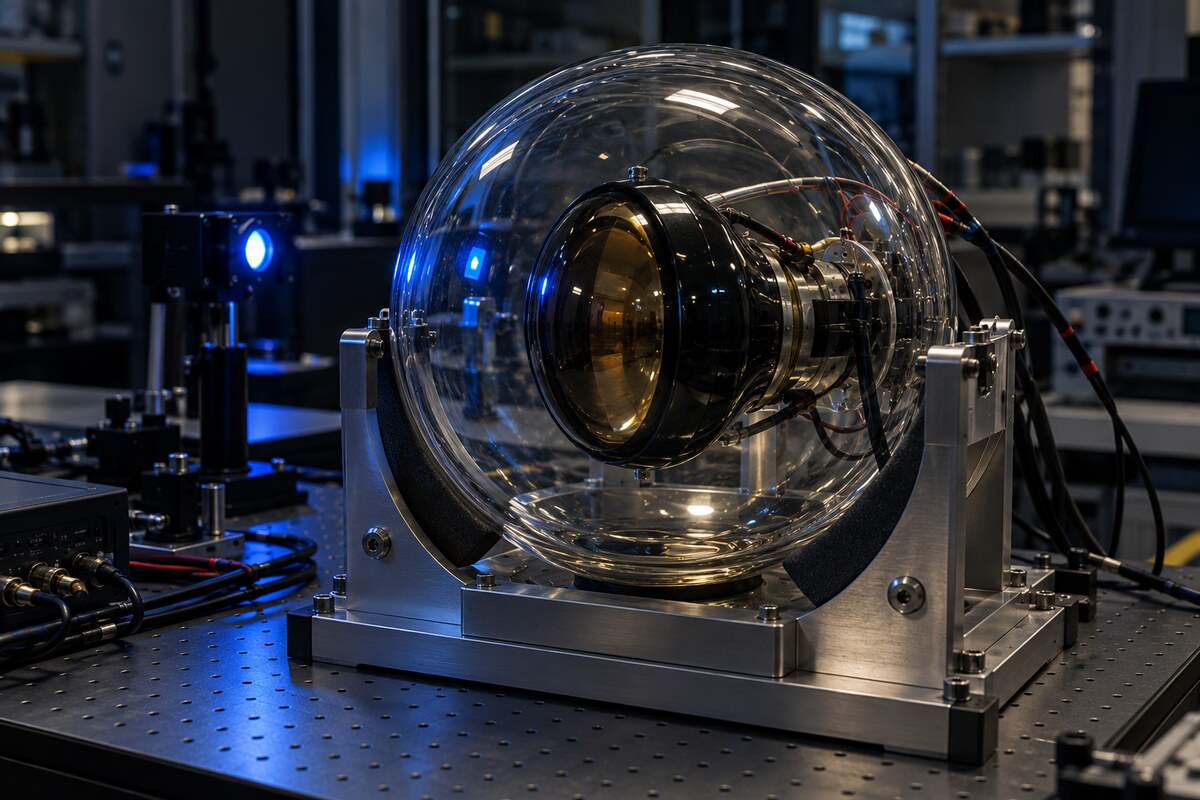
The radar’s calibration equipment includes a dedicated ground transponder at New Norcia in Australia. A five-metre antenna sits inside a protective radome, whose form resembles an oversized football. A movable positioner directs the antenna towards the passing satellite. The equipment receives the radar transmission and returns a controlled signal, giving the mission a reference for checking the instrument’s behaviour. The installation belongs to the ground calibration system, separate from the spacecraft’s much larger deployable reflector.

The transponder underwent testing at ESA’s Hertz facility in 2022 before installation at New Norcia in 2023. Airbus UK, C-CORE, IDS and Anspach AG contributed to its development and deployment. Intensive use was planned during commissioning, followed by checks up to twice a year during routine operations. ESA selected New Norcia after evaluating several dozen sites for their location, infrastructure and other characteristics. The site already operated a 35-metre deep-space antenna and a 4.5-metre launcher-tracking antenna. The dedicated transponder added a different function to that existing ground-station infrastructure.
The transponder’s first satellite signal
C-CORE’s transponder received its first signal from Biomass on May 24, 2025, following five and a half years of work. Its contribution covered the transceiver’s analogue front end, digital back end and software. That equipment receives and processes the satellite transmission as part of the calibration operation. The first reception connected the ground installation with the orbiting instrument after the launch and antenna deployment. C-CORE announced the milestone on Jun 11, 2025.
Other suppliers provided the antenna and the machinery around the transceiver. IDS developed the 5.5-metre flat-panel antenna array, FDS supplied the radome, HITEC supplied the positioner and Arup provided technical guidance for the site installation. C-CORE managed the transponder instrument project as its prime contractor and led the transceiver’s technical development. The team combined expertise in radio-frequency hardware, digital electronics, real-time processing and antenna manufacture. C-CORE attributed the contract’s availability to Canada’s status as a cooperating state of ESA, with funding from the Canadian Space Agency.

What the first radar images could show
ESA released Biomass’s first images on Jun 23, 2025, while commissioning was still under way. Those observations demonstrated the radar’s response to different landscapes, but they were not yet suitable for scientific carbon quantification. Colours represented different polarisation responses rather than the colours an observer would see from an aircraft. Forest appeared green in the examples, wetlands red, grassland blue or purple, and water black. The images included the Beni region in Bolivia and forest landscapes in northern Brazil, with visible differences between vegetation and surrounding land and water.
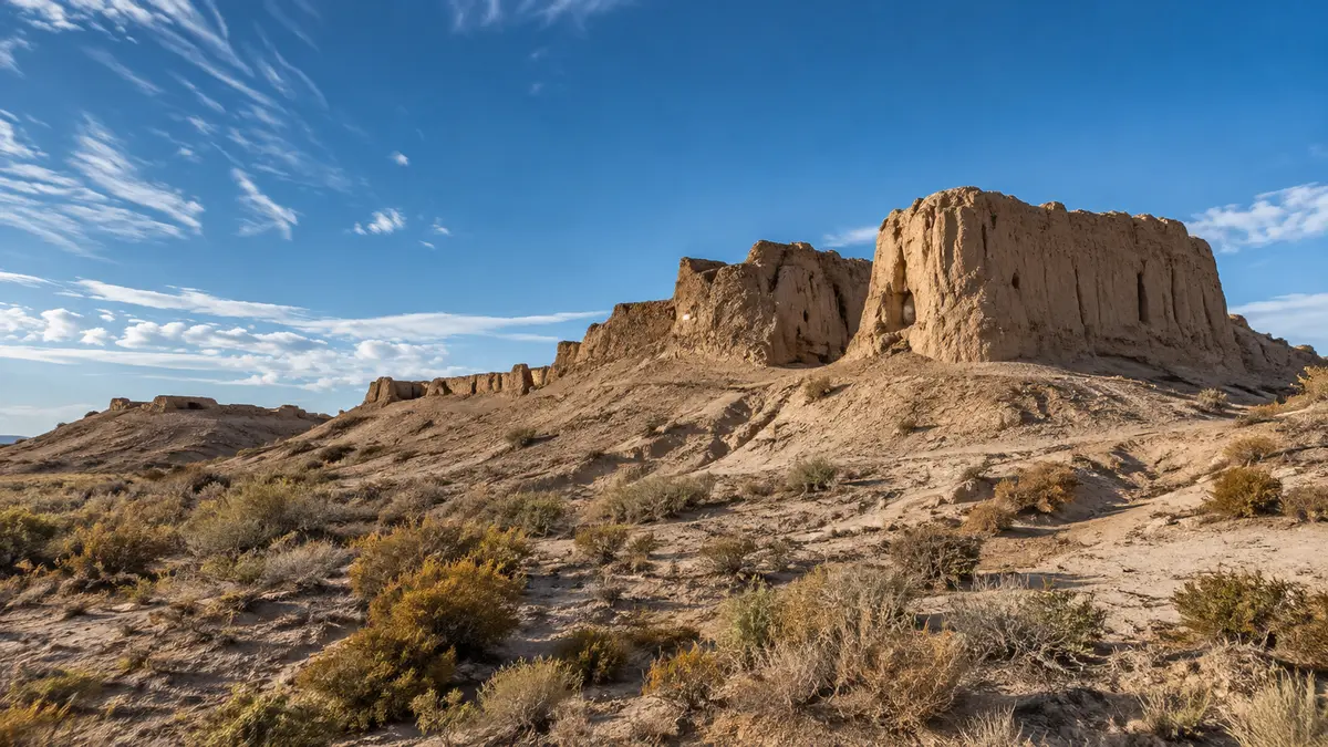
The initial collection also extended beyond forest observation. Radar returns from the Tibesti mountains in Chad suggested the potential to investigate features beneath dry sand, where ESA expected penetration to depths of about five metres. Images of the Nimrod Glacier in Antarctica illustrated another possible research application. These were secondary opportunities for a radar designed primarily around forests. The early desert and ice examples did not establish a completed subsurface survey or a validated new ice product. Calibration and scientific validation still had to follow the first demonstrations of the instrument’s ability to acquire observations.
Preparing national users before scientific release
Brazilian institutions prepared to work with Biomass before commissioning ended. ESA, the National Institute for Space Research, INPE, and the Brazilian Space Agency, AEB, had brought users together in Belém by Nov 13, 2025. The work concerned practical use of the mission’s observations and the development of products relevant to national forest monitoring. ESA specialists and local researchers worked with the radar data and the methods needed to interpret them. The activity involved preparing people and processing approaches while the satellite’s observations were still undergoing checks for scientific use.
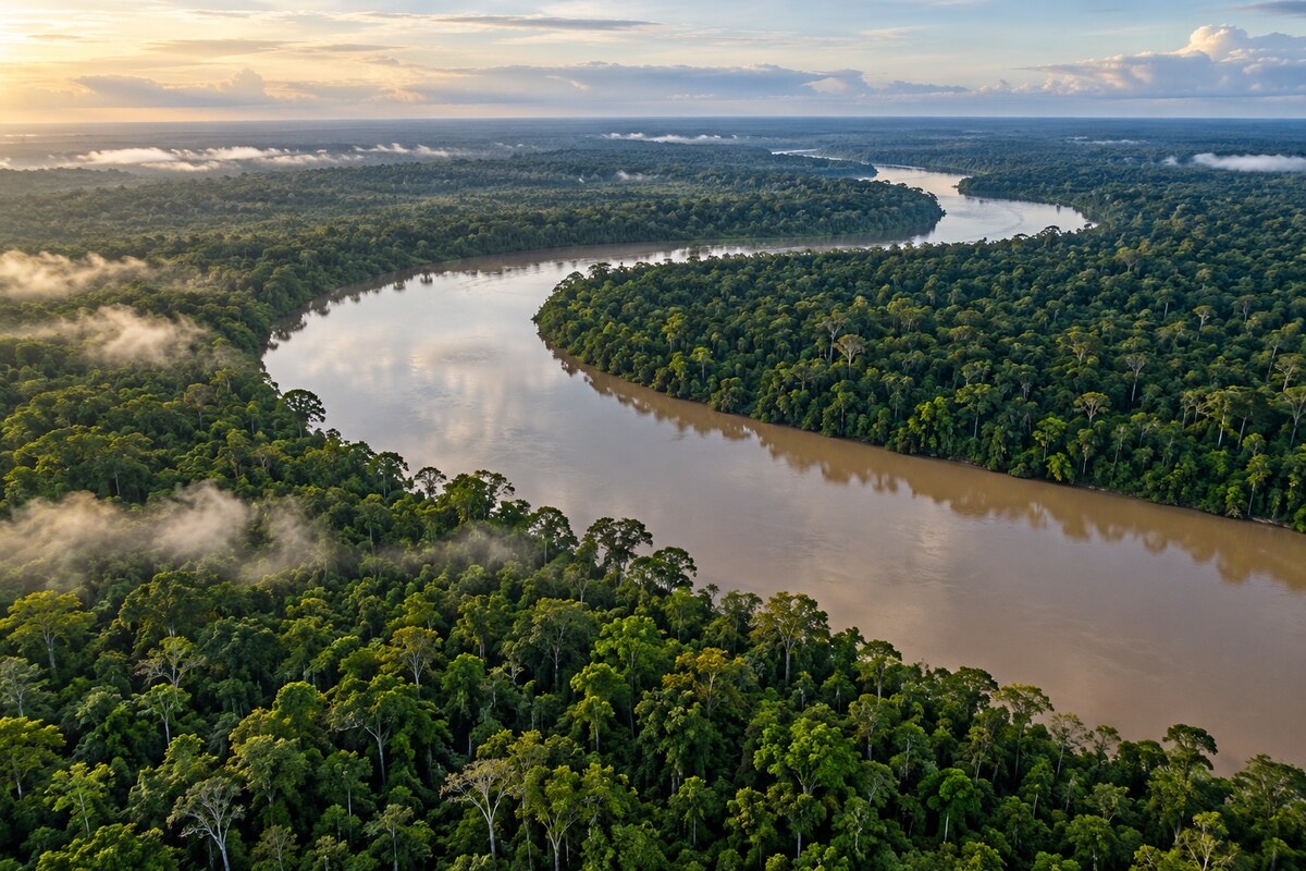
The radar transmits and receives horizontally and vertically polarised signals. Those combinations help distinguish interactions within the forest, including responses associated with the canopy and the ground. Examples from Tumucumaque showed how the radar could investigate the forest floor beneath a canopy around 30 metres high. ESA’s November account retained an important qualification: commissioning was continuing, and the data were not yet ready for scientific exploitation. The work in Belém therefore preceded the operational release. It provided preparation for using the measurements without treating the workshop images as finished, validated estimates of forest carbon stocks.
Commissioned observations and open access
By Jan 26, 2026, Biomass data were open to all users following completion of commissioning. Access was free. The operational sequence then comprised an 18-month tomographic phase, followed by interferometric observations with coverage repeated every nine months. These were the mission timings at the opening of data access, superseding shorter planning intervals used before launch. The tomographic period concentrated on building the three-dimensional information needed for the mission’s forest measurements. The later interferometric phase would provide repeat observations for studying change over time.
Validation included an airborne campaign over Gabon involving DLR, the Gabonese space agency AGEOS and the country’s air force. Aircraft measurements were collected close in time to the satellite observations, allowing researchers to compare the measurements over the same forests. ESA’s science team used these comparisons within the calibration and validation programme. The open-data milestone established a different stage from the demonstrations published during 2025.

A year of radar views
On Apr 29, 2026, ESA marked the mission’s first year in orbit with a further collection of images reaching from the Arctic to South America. The images continued to use colour to display radar responses, rather than to reproduce natural colour. Their range included forests alongside ice and desert landscapes. ESA highlighted the potential to investigate ice movement and structures beneath dry terrain as additional applications. Those possibilities accompanied the mission’s central forest purpose; the anniversary collection did not replace the separate measurements and processing needed to estimate biomass, monitor forest structure and study changes in stored carbon.





Leave a comment